

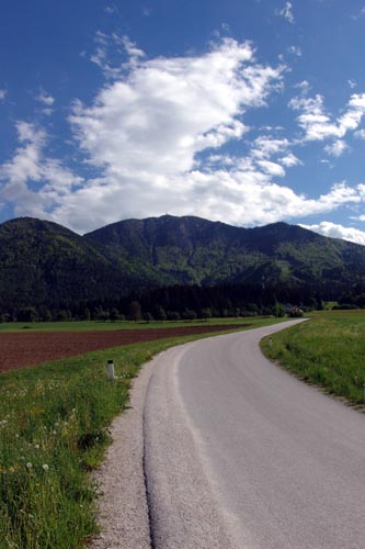
We continue up the road, turn right at the end of the tarmac and continue on a dirt road.

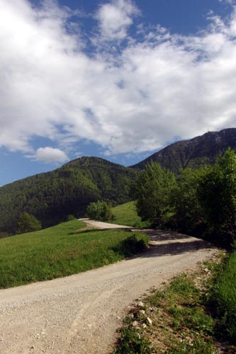
We go straight along the road, and don`t turn of the road at any crossroad.

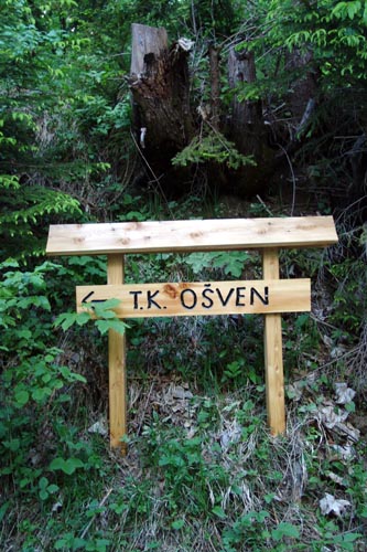
The trail leads us past Smučarska kočča, and at the next turn we make a left U-turn. We follow the signs for Ošven.
When we get to a branch leading to farm Ošven, we continue RIGHT (not heading to Ošven).
After a few turns we come to another branch, where we turn LEFT.
We go through a forrest, cross a ski slope, and then we continue on a flat dirt road.

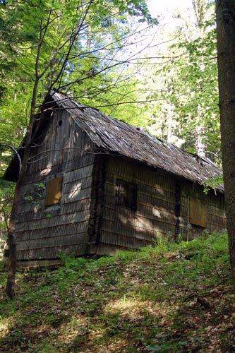
After about 2,5 kilometers we turn left by an abandoned house.
Now we start to descent. We ride straight along the track, with no fear of losing the right way. The trail is a beautuful singletrack, with a lot of 180° turns.

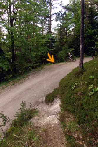
The trail leads us to a road, which we crooss and take the RIGHT line immediately after the road. Wee follow the track.
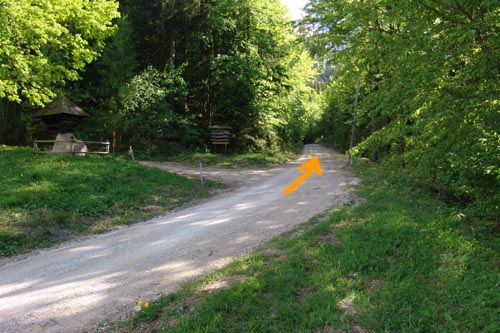
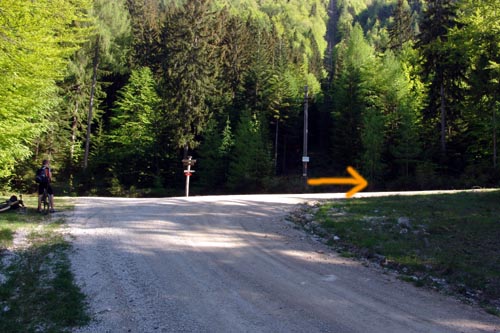
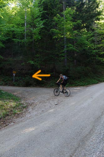
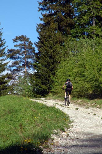
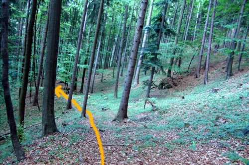
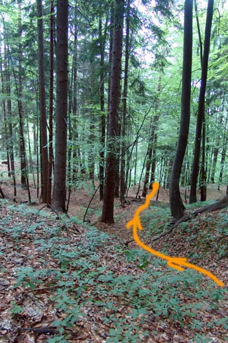
The last section of the trail is a little more complicated, because the trail suddenly ends. We can help ourself with the pictures below, wich roughly show us where to go. If we get lost, we just go down the hill until we get to a road, on wich we then ride into the valley.
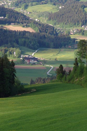
We get to the Ivarčko lake, wich we pass on a asphalt road, on wich at the end of the straight we turn LEFT on the dirt road. After a few hundred meters we arrive to Šratnek, where we started.

